Maps & COSMOS
Access Surrey maps, COSMOS and spatial data.
Explore our interactive maps to find out information like:
- property reports
- property zoning information
- park locations
- community boundaries
You can also use our maps to search for underground infrastructure near your property, or find out if a tree is on public or private property.
COSMOS

Use the City of Surrey Mapping Online System (COSMOS) to explore over 200 layers of information.
Video tutorials
Watch instructional tutorials to learn how to use COSMOS.
Interactive map gallery

Explore City of Surrey locations and services using our interactive maps.
Print or download maps
Standard sizes
Print or download a copy of what you see in COSMOS. Hard copy maps of the Surrey can be printed out in two sizes:
- letter size (8.5"x11")
- 11"x17" (if your printer can handle paper of that size)
COSMOS will also produce your map as a picture or PDF.
Large sizes
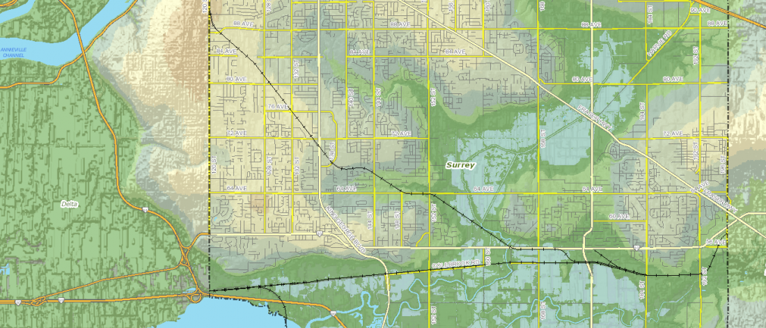
View a high resolution Surrey street map.
Contact us at EngWebmail@surrey.ca or 604-591-4146 if you are looking for:
- a larger printed map of Surrey for anything you find on COSMOS
- a large scale map book (140 pages)
- a custom map product
We aim to provide you a standard map product with three business days. Custom maps & map books may take longer and be more costly.
As-built Engineering drawings
Contact the Engineering Department or use our Engineering Drawings Search.
Map data
The map data comes from thousands of Engineering Drawings, Legal Plans and Concept Plans that we track, scan, and digitize into our geographic information system (GIS). This Open Data becomes all of the layers you see in our maps, which we create and analyze to make better decisions.
Review City of Surrey's Spatial Data Disclaimer.
Contact
For questions about our GIS services, such as maps and spatial data, or for questions and comments regarding COSMOS, please contact EngWebmail@surrey.ca or 604-591-4146.