
Blueways Master Plan
View access points and review the Blueways Master Plan that outlines objectives to increase access to Surrey's waterways.
Surrey has a number of rivers, lakes and oceanfront parks – known as blueways – for residents to explore, as highlighted in our Blueways Master Plan.
There are many access points and opportunities to discover the City's waterways. One of the most popular ways is as a paddler using a non-motorized watercraft, like a kayak, canoe or SUP (stand up paddleboard).
When planning your trip, always remember to check the local Tidal Predictions, as routes and difficulty levels can be affected by changing tides.
Designated Routes
There are 3 main designated blueway routes in Surrey. See the blueways river map to get a general outline of each one.
- Nicomekl River: The Surrey Floating Nature Trail provides an interpretation-based and controlled paddling experience on the lower Nicomekl River, with enhancements to separate paddlers and other boaters from sensitive waterfowl areas and seasons.
- Serpentine River: The Serpentine Paddling Circuit provides a loop circuit for experienced paddlers in the central Serpentine Valley. There is no formal entry point and portaging may be required in multiple locations depending on tide and water levels.
- Fraser River: The Fraser River Challenge provides a route for experienced paddlers from Surrey Bend to Brownsville Bar, as a part of a regional blueway paddling system throughout the Fraser Valley.
Access Points
Nicomekl River
Wards Marina at Elgin Heritage Park
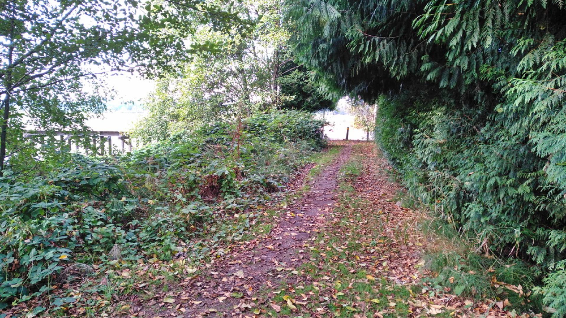
Ward’s Marina is the best location to access the Nicomekl River. There is a free boat launch complete with a loading zone and parking is available near the boat launch. Please note that parking is limited and is available on a first-come first-serve basis. This is the easiest location to launch a kayak, canoe, or stand-up paddleboard.
The boat launch can be used at high and low tide. Please be mindful of changing tides and currents as this route can be difficult to navigate. There are also washrooms and picnic tables available at Elgin Heritage Park.
Nicomekl River
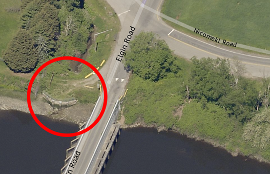
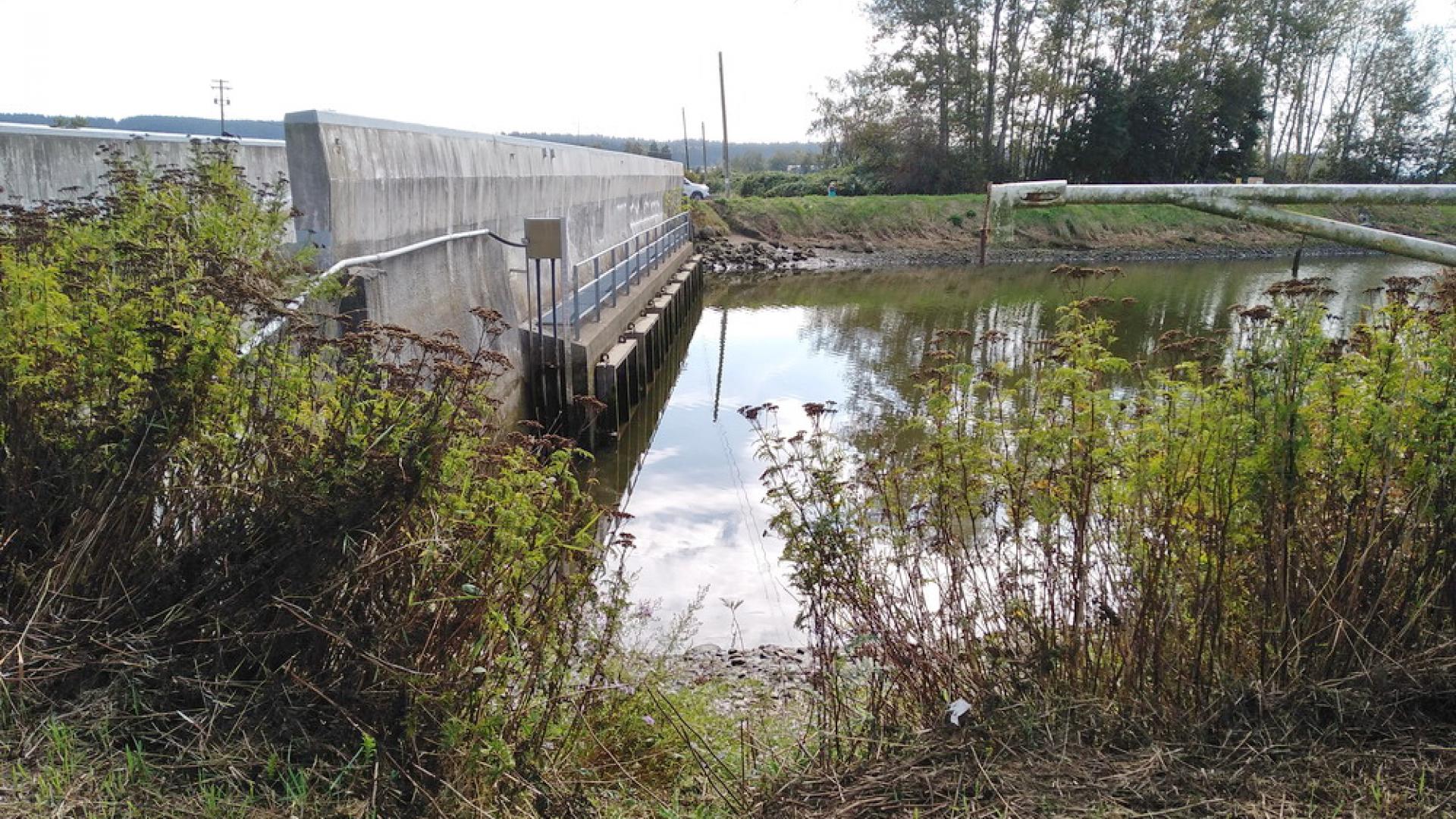
Sea Dam (Elgin Road)
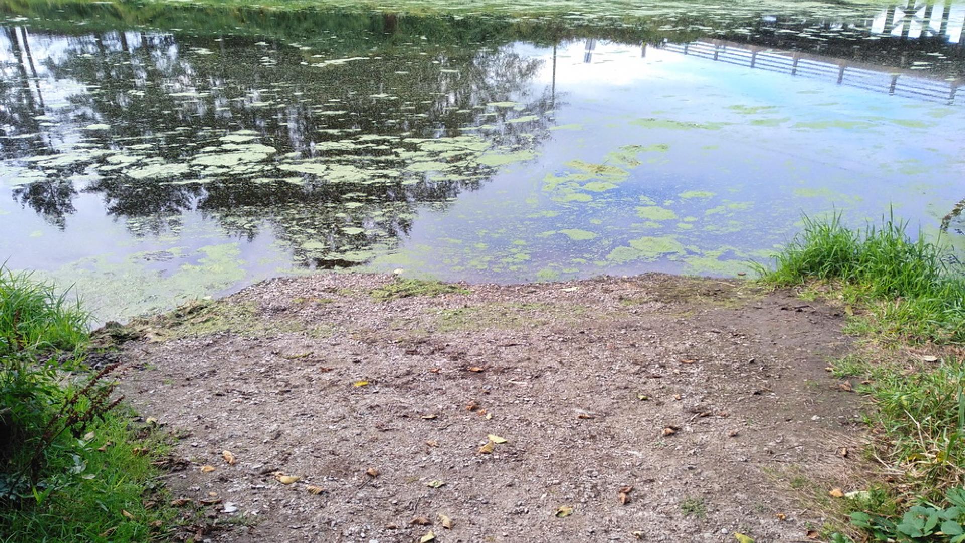
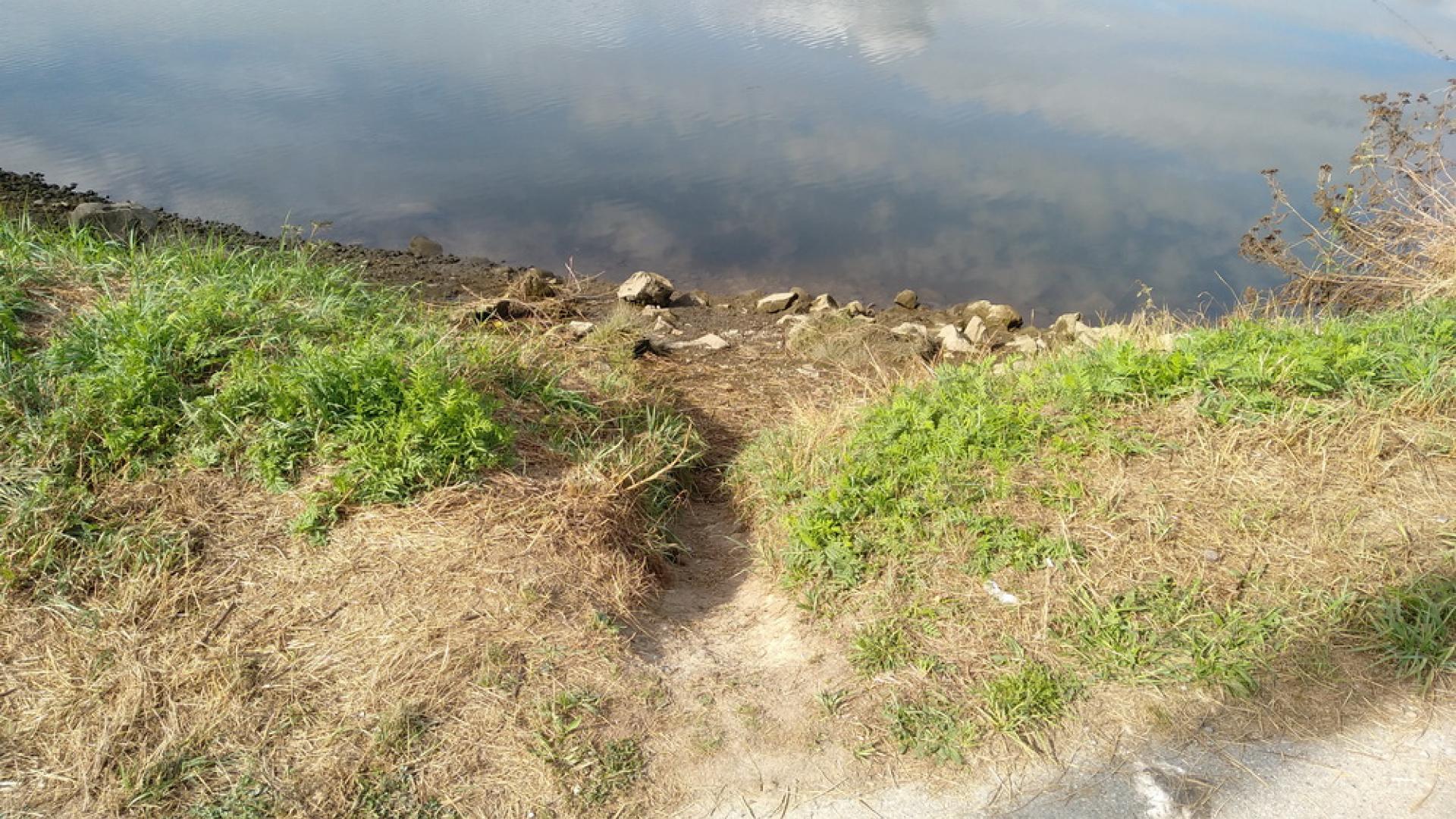
Located where Elgin Road crosses the Nicomekl. There is a small area to unload a boat from your car. Please obey posted parking regulations, and repark your vehicle on nearby roads after unloading.

Nicomekl River
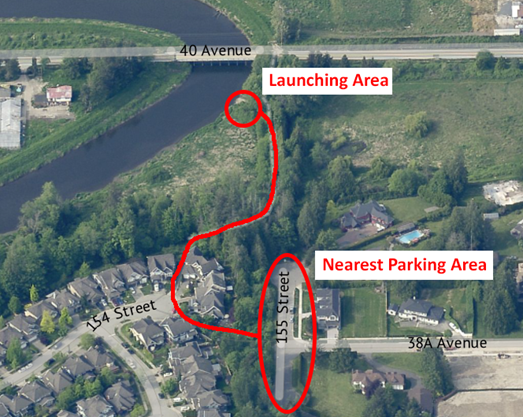
155 St and 38A (40 Ave Bridge)
This launch does not have a loading zone or dedicated parking. Please obey posted parking regulations.
Serpentine River
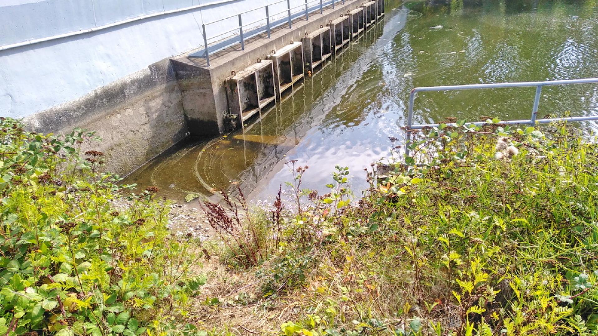
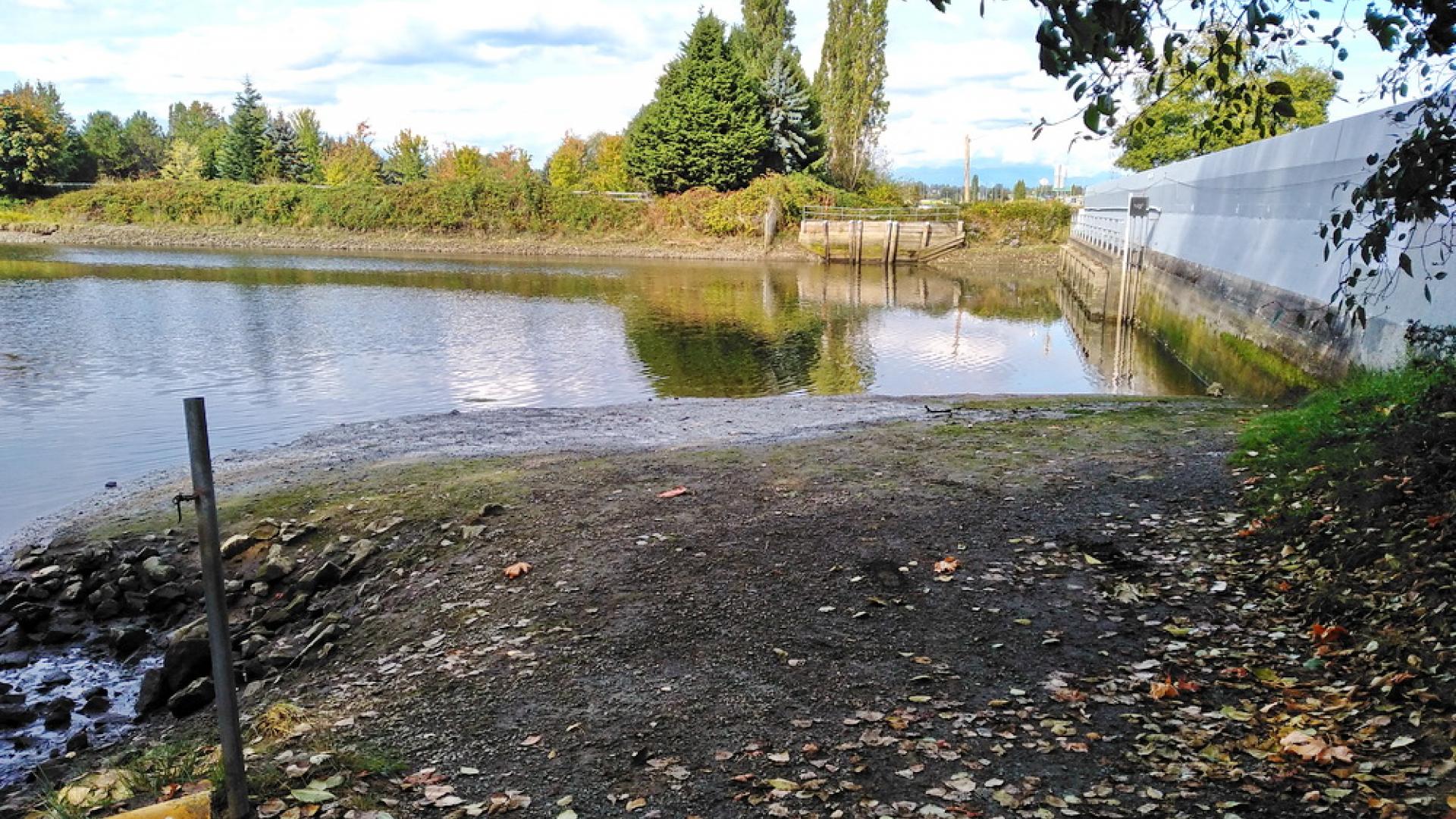
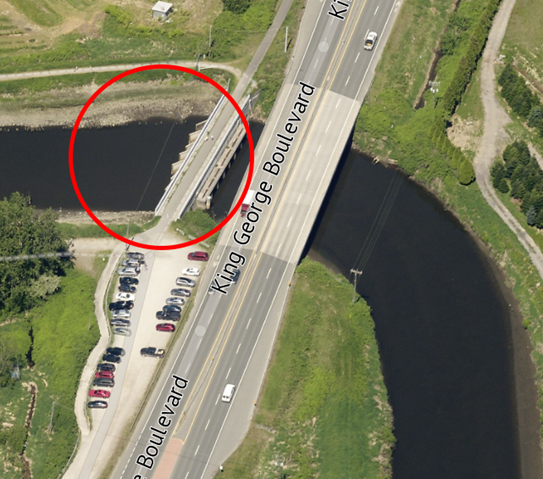
Sea Dam (King George Blvd)
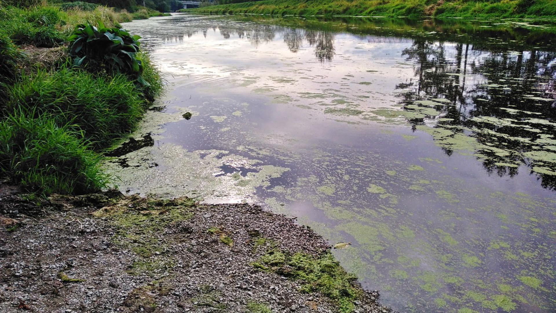
Located where King George Blvd crosses the Serpentine River, adjacent to Serpentine Fen. There is a small area to launch a boat, parking is limited and there are no nearby parking alternatives. Please obey posted parking regulations. From the launch area you can head down river towards Mud Bay.
This blueway route is best suited for experienced paddlers and small craft operators. Please be mindful of changing tides and currents as this route can be difficult to navigate. Paddlers and small craft operators may need to portage their craft through some areas during lower tides. The Serpentine Fen is a great place to see birds and wildlife.

About the Blueway Master Plan
The Blueways Master Plan examines the amenities and opportunities to encourage non-motorized recreational boating on waterways, to facilitate family enjoyment and public education in a way that supports the fish, wildlife and agricultural communities.
Plan Principles
- Use the Blueways Program to increase public respect for the fish and wildlife values of Surrey waterways, in particular waterfowl use in the Boundary Bay Wildlife Management Area.
- Design a management plan that will avoid public access to private agricultural property including private dykes.
- Encourage responsible recreational paddling on Surrey's waterways, within the carrying capacity of the waterways, both for comfort of people users as well as waterfowl.
- Take an adaptive management approach to Surrey Blueways, where the program will be designed to adapt as more detailed information and use experience comes forward.
- Phase in the program slowly, and direct short-term attention to realizing existing opportunities and solving existing conflicts, moving to gradual expansion of the program based on initial successes.
- Create a recreational experience focused on family and entry-level paddlers in canoes and kayaks. Play a role in discouraging motorized watercraft above the seadams.
- Offer a range of non-motorized watercraft experience, allowing for user choice and variety, as well as the upgrading of user paddling skills over time.
- Enhance tourism and environmental offerings of the City of Surrey.
- Recognize the limits of jurisdiction of the City of Surrey over navigable water use. The focus of this program will be on design and management of facilities owned and operated by the City and its direct partners. It is recognized that other agencies control navigable waters.
Contact
Contact us at PRCCustomerService@surrey.ca or 604-501-5050 with any questions on blueways in Surrey.