Stormwater Flow Monitoring
Find rainfall data and see locations of Surrey's streamflow and water level monitoring stations.
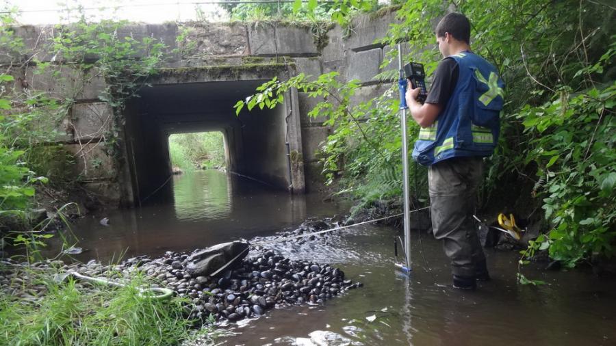
The City implemented a stormwater monitoring program in 1996, and since then has collected stormwater flow, rainfall data and some water quality information at numerous sites throughout Surrey.
This data is used in various City initiatives, including:
- Calibrating hydrologic models for selected catchments using reliable rainfall and flow data,
- Establishing baseline conditions and benchmarks for future comparisons,
- Giving background information for updating polices and design criteria and standards,
- Providing quick analysis of significant rainfall events and response to flooding events, and
- Facilitating studies involving sanitary inflow and infiltration, stormwater, Low Impact Developments initiatives, fisheries, and water quality.
This data is stored on FlowWorks, a web-based data server that provides data collection, reporting and flow analysis tools.
Access FlowWorks with the following credentials:
Log In ID : surreyrain
Password : surreyrain
Streamflow Monitoring Stations
The City of Surrey operates 12 streamflow monitoring stations that record the water level which is then used to calculate flow using the relationship between water level and flow velocity.
- Archibald Creek at 142 Street
- Bear Creek at King George Highway
- Chantrell Creek at 32 Avenue
- Elgin Creek at 32 Avenue
- Latimer Creek at 192 Street
- Little Campbell Creek at 12 Avenue
- Mahood Creek at 144 Street
- Morgan Creek at 160 Street
- Nicomekl Sea Dam
- North Creek at Fraser Highway
- Quibble Creek at 88 Avenue
- Serpentine River at 104 Avenue
Water Level Monitoring Stations
The City of Surrey operates 7 water level monitoring stations which record water level using radar or ultrasound, or a pressure transducer.
- Bear Creek at 152 Street
- 68 Avenue Ditch near 168 Street
- 168 Street Canal near 68 Avenue
- 192 Street South near 51B Avenue
- Latimer Creek at Harvie Road
- Serpentine River at 168 Street
- Serpentine River at Highway 10
For Fraser River water levels, go to the BC River Forecast Centre.
Rainfall Gauges
The City of Surrey operates 11 tipping bucket rainfall gauges. Water collects into a cylinder and into a seesaw-like container that tips after a pre-set amount of precipitation falls. Each tip is counted and summed. Only the 68 Avenue and 176 Street station is heated and therefore able to record snow water equivalent.
- 68 Avenue and 176 Street
- 71A Avenue and 190 Street
- Chantrell Creek Elementary School
- Hemlock Municipal Yard
- Port Kells Pump Station
- Semiahmoo Fish & Game Club
- Surrey Arts Centre
- Surrey Kwantlen Park
- Old Surrey Municipal Hall (now RCMP building)
- W.E. Kinvig Elementary School
- White Rock STP
Contact us
For more information on the program or to discuss access to data, contact us at 604-591-4340.
Developers looking to access City Stormwater Flow Monitoring data should be familiar with CIty of Surrey Open Data License and may request access to the application programming interface by submitting details of the proposed application to EngWebmail@surrey.ca.