
Surrey Slow Streets Pilot Project
Learn about Surrey's Slow Streets Pilot Project, which is now complete.
On June 17, 2021, the City of Surrey launched the Surrey Slow Streets: Residential Speed Limit Reduction Pilot on local roads in six residential neighbourhoods in Surrey. Speed limits were reduced to 30 km/h in three select neighbourhoods and 40 km/h in three others.
The purpose of the pilot was specifically to measure the effect on driver behaviour of changing speed limit signage and to help inform which lower speed limit (30 km/h or 40 km/h) to implement widely on local residential roads.
Pilot Results
The pilot concluded in December 2022. The pilot evaluation indicated:
- Vehicle speeds in residential areas were consistent, regardless of the speed limit signage.
- A reduction to 30 km/h or 40 km/h did not translate to a significant reduction in vehicle speed.
- The pilot survey determined that the public has a higher level of acceptance of reducing speed limits in residential streets to 40 km/h as opposed to 30 km/h.
For more details on the pilot results, view appendix “III” of the corporate report.
Next Steps
With the pilot now over, the pilot speed limit signage will be removed from the six neighbourhoods.
The City will advocate to the Province to seek a default speed limit of 40 km/h on residential roads to be consistent across the region.
The City will also undertake a more comprehensive review of speed limits on the arterial and collector roads, as well as in school and park zones.
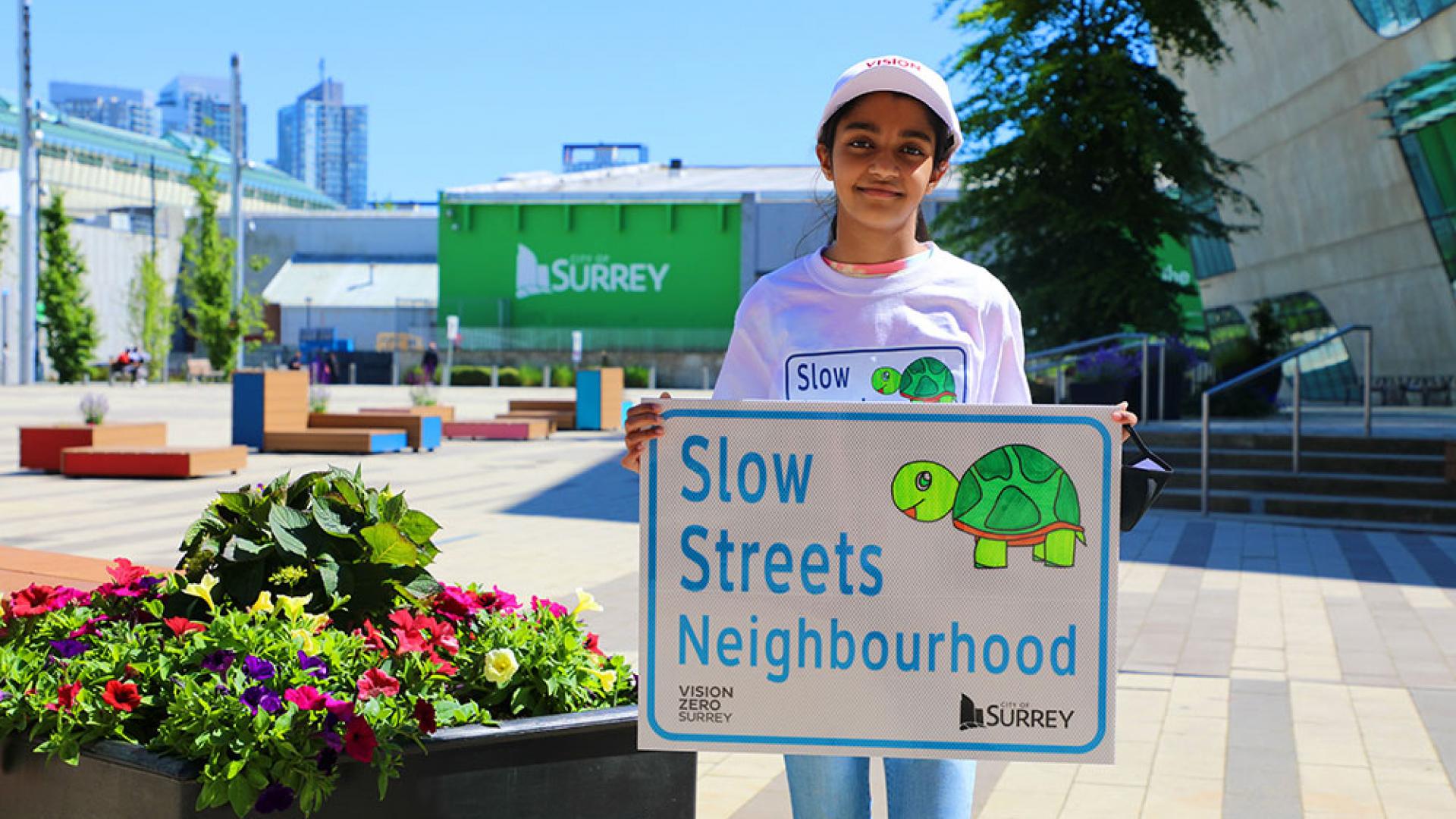
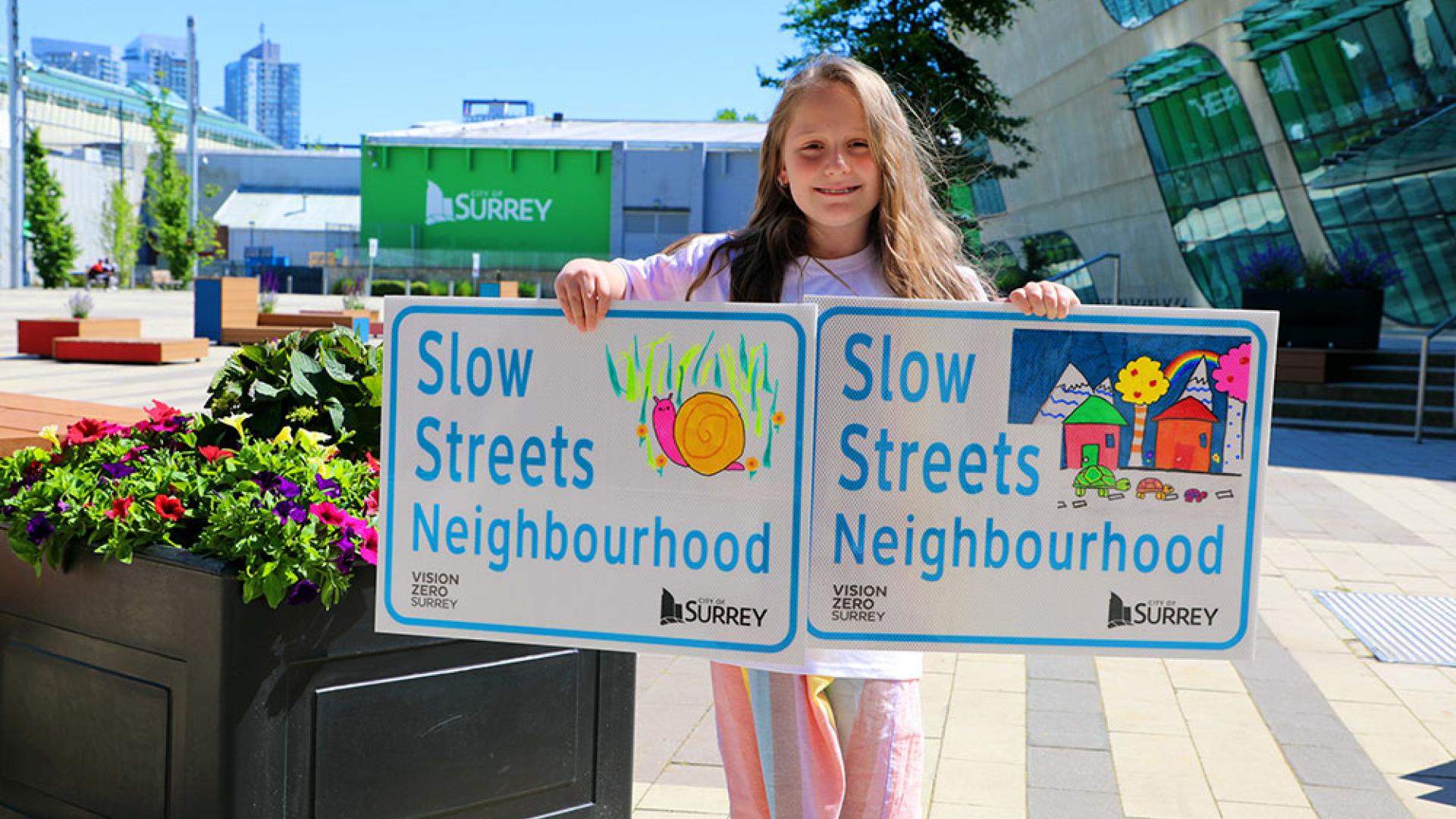
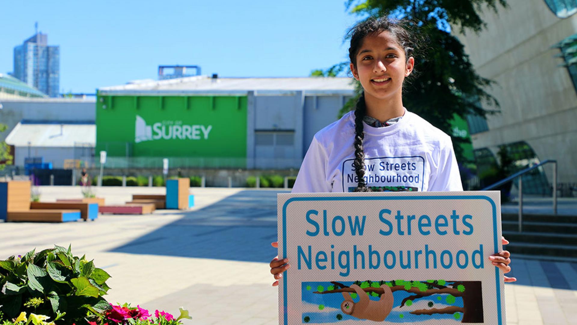
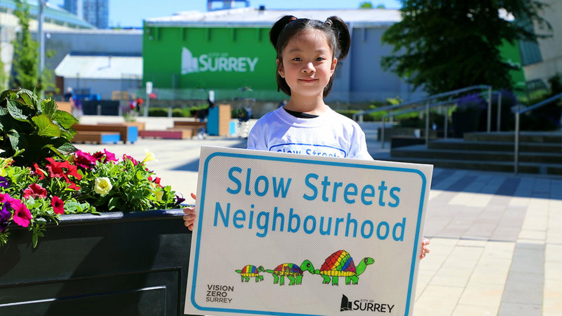
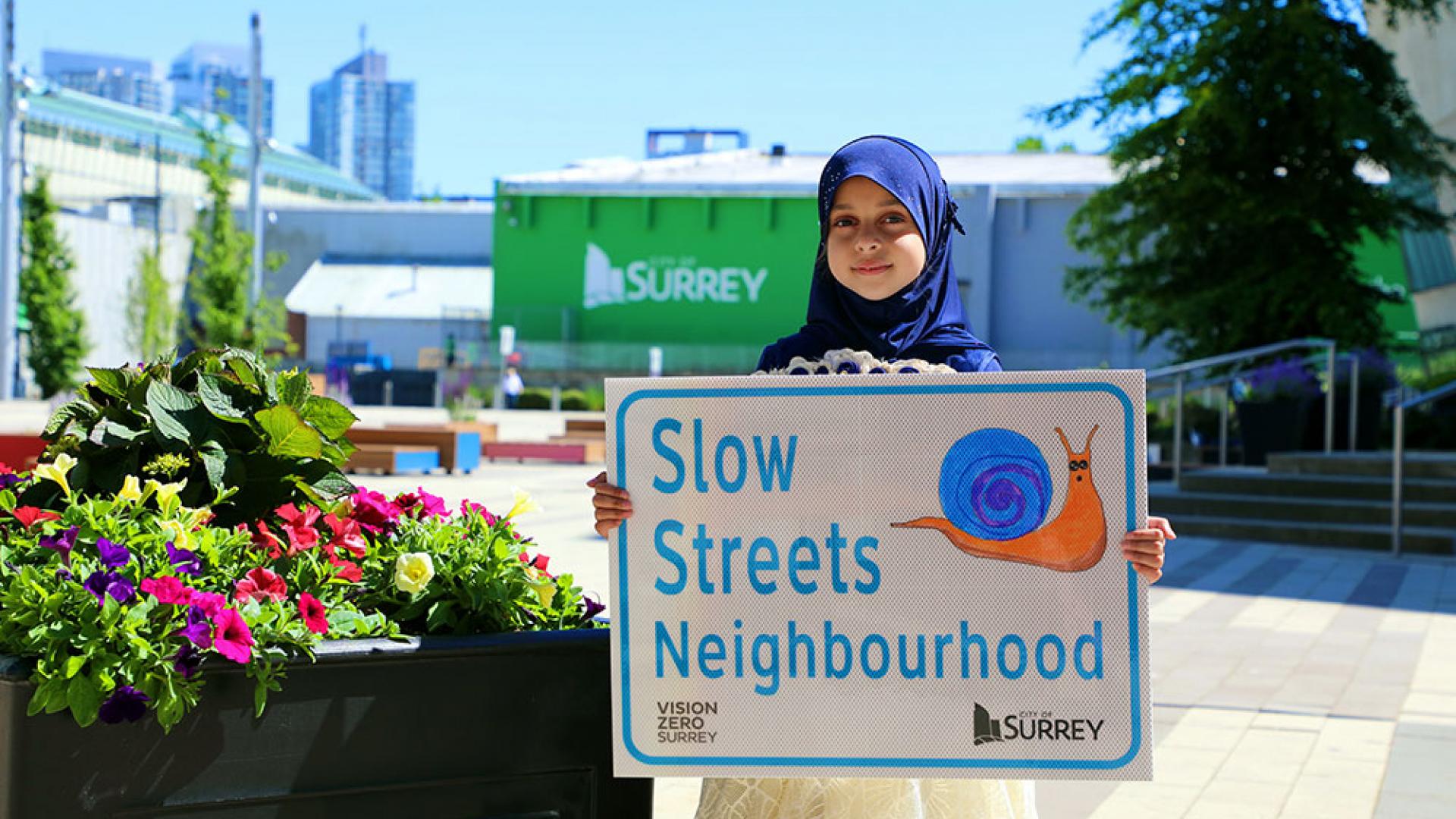
Design the Sign Winners
As part of the Surrey Slow Streets pilot, we ran a contest and close to 50 designs for signs were submitted from children and youth across our City. After three rounds of judging, six designs were chosen and were made into street signs for the pilot.
Contest winners and their sign designs
About the Pilot
Municipalities across Canada are reducing residential speed limits in their community to 30km/h and 40km/h, respectively. Surrey’s pilot is unique in that it tested both speed limits to see which works best for our Surrey community.
We conducted this pilot project in response to residents’ concerns about safety on Surrey roads and in their neighbourhoods. This is a starting point to determine the differences that lower speed limits can make on our roads, taking into consideration Surrey’s unique characteristics and needs.
For more information about the pilot, see the December 2020 corporate report.
Connection to Vision Zero Surrey
Managing speeds is an important part of the Vision Zero Surrey Safe Mobility Plan. Vision Zero Surrey is based on the Safe Systems Approach which focuses on speed within its Safe Speeds pillar. The Surrey Slow Streets speed limit reduction pilot project is a key step that directly supports Safe Speeds and works to save lives on Surrey roads.
Contact
If you have specific questions about the Surrey Slow Streets pilot project, please email visionzero@surrey.ca.