Credit: Jon Healy Photography
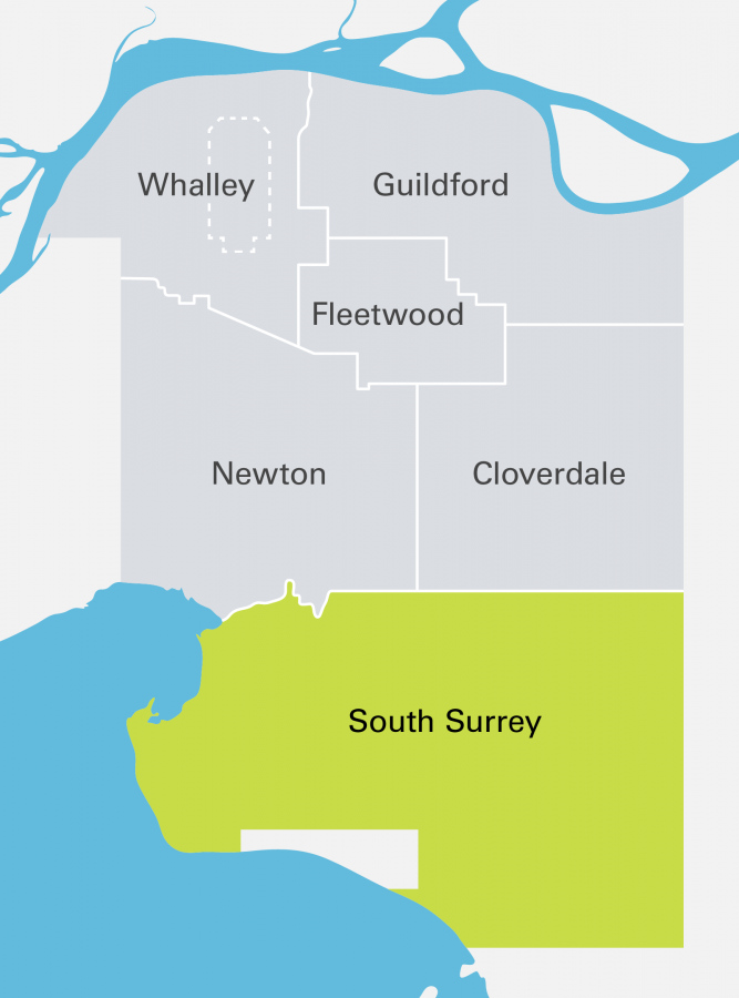
South Surrey
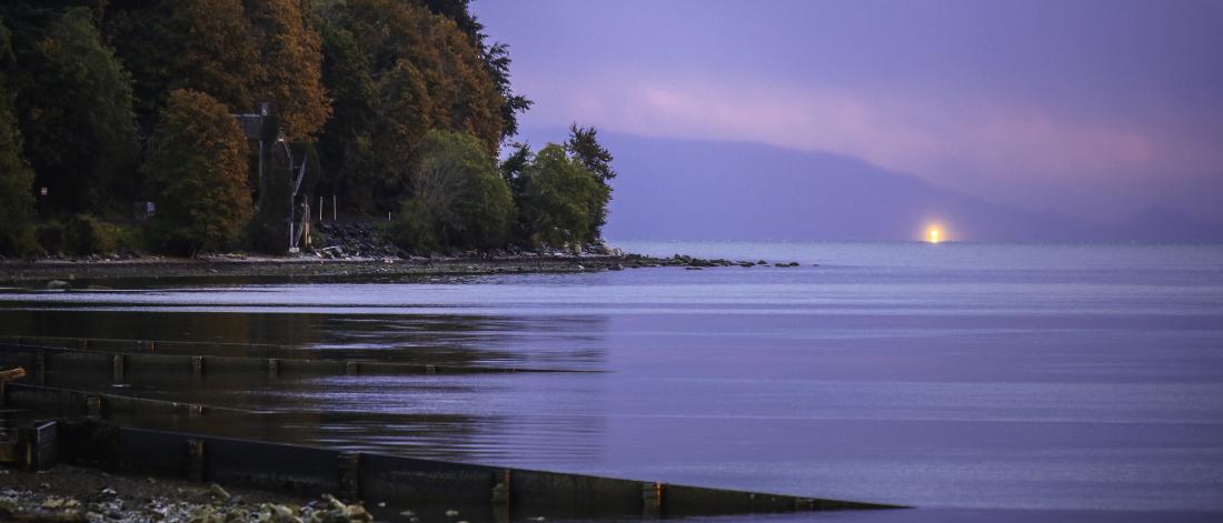
The largest of Surrey's town centres by land area, South Surrey offers amazing coastal and mountain views. It is home to Crescent Beach, tall trees, two border crossings to the United States, and several heritage sites like Historic Stewart Farm.
Welcome to South Surrey!
South Surrey is rich in history and home to unique neighbourhoods such as Crescent Beach, Grandview Heights, Darts Hill, Rosemary Heights, Campbell Heights, and Semiahmoo Town Centre—the commercial and cultural heart of South Surrey.
Stunning beaches, mountain views and expansive farmland characterizes the natural beauty of South Surrey.
South Surrey also offers convenient connections to the United States through the Peace Arch and Pacific Highway border crossings.
Location
South Surrey is bound by the ocean to the west, the City of White Rock and the border to the United States of America to the south, the Township of Langley to the east, and 48 Avenue to the north.
Things to do in South Surrey
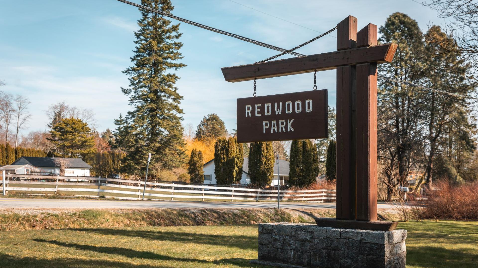
The historic resort community of Crescent Beach is one of South Surrey’s most popular attractions. Just up the road, the Historic Stewart Farm located in Elgin Heritage Park showcases Surrey’s farming history. Other treasured destinations in South Surrey include the Serpentine Fen Nature Reserve, Sunnyside Acres Urban Forest and Redwood Park.
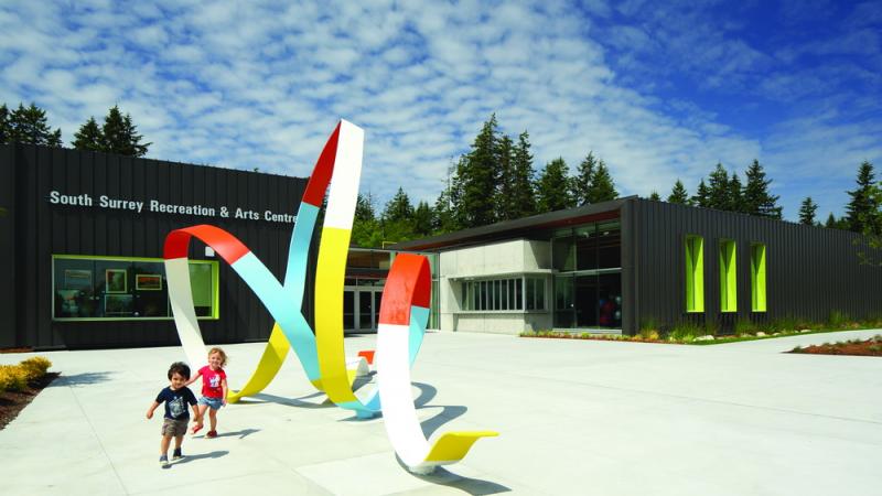
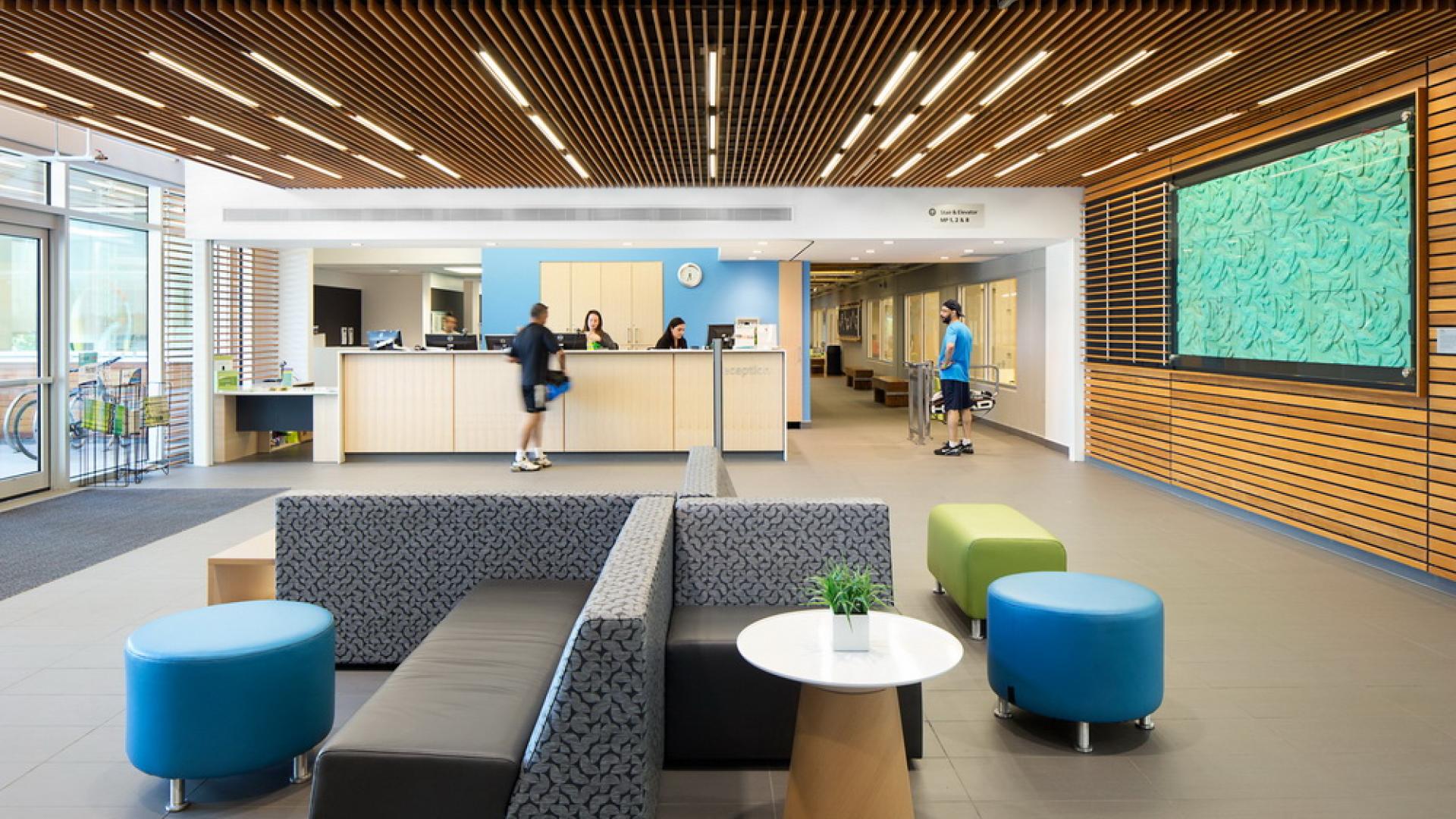
South Surrey is also home to several recreational facilities such as the Grandview Heights Aquatic Centre, the South Surrey Recreation & Arts Centre, and Softball City.
South Surrey: Planning for the future
South Surrey in photos
View the gallery below to get an idea of what life is like in South Surrey!
-
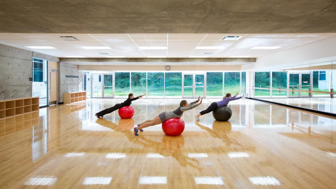
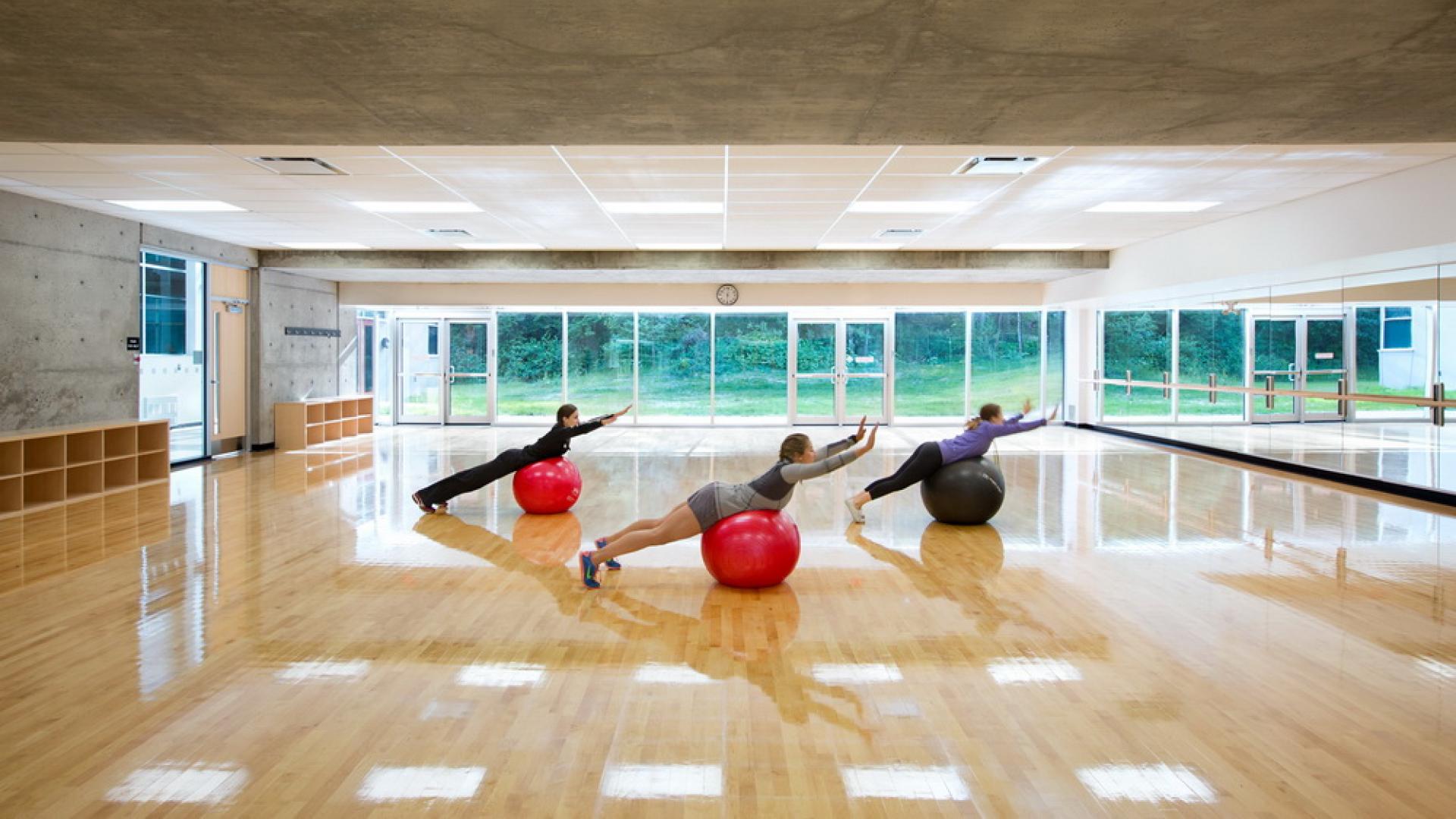
South Surrey Recreation Centre fitness room
-
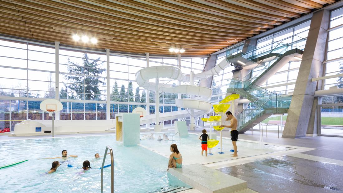
Grandview Heights Aquatic Centre
-
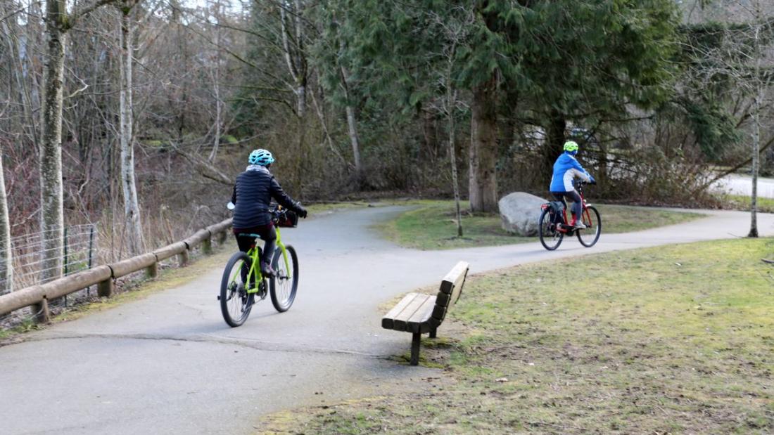
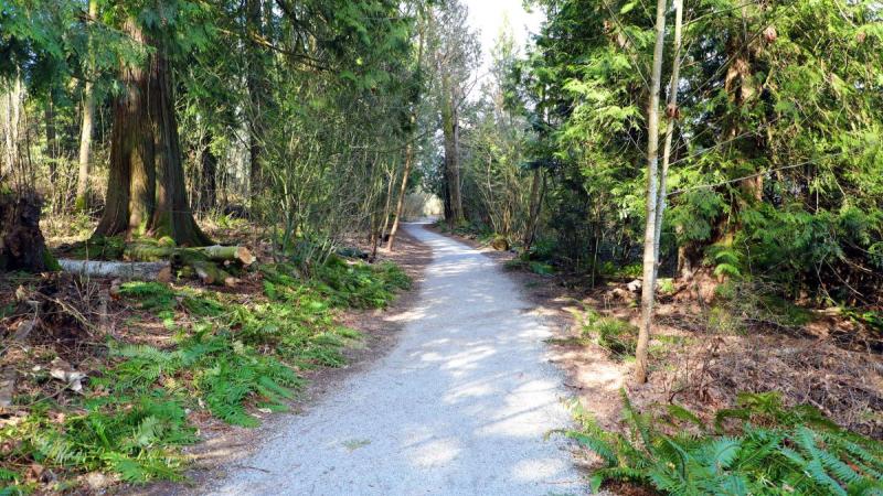
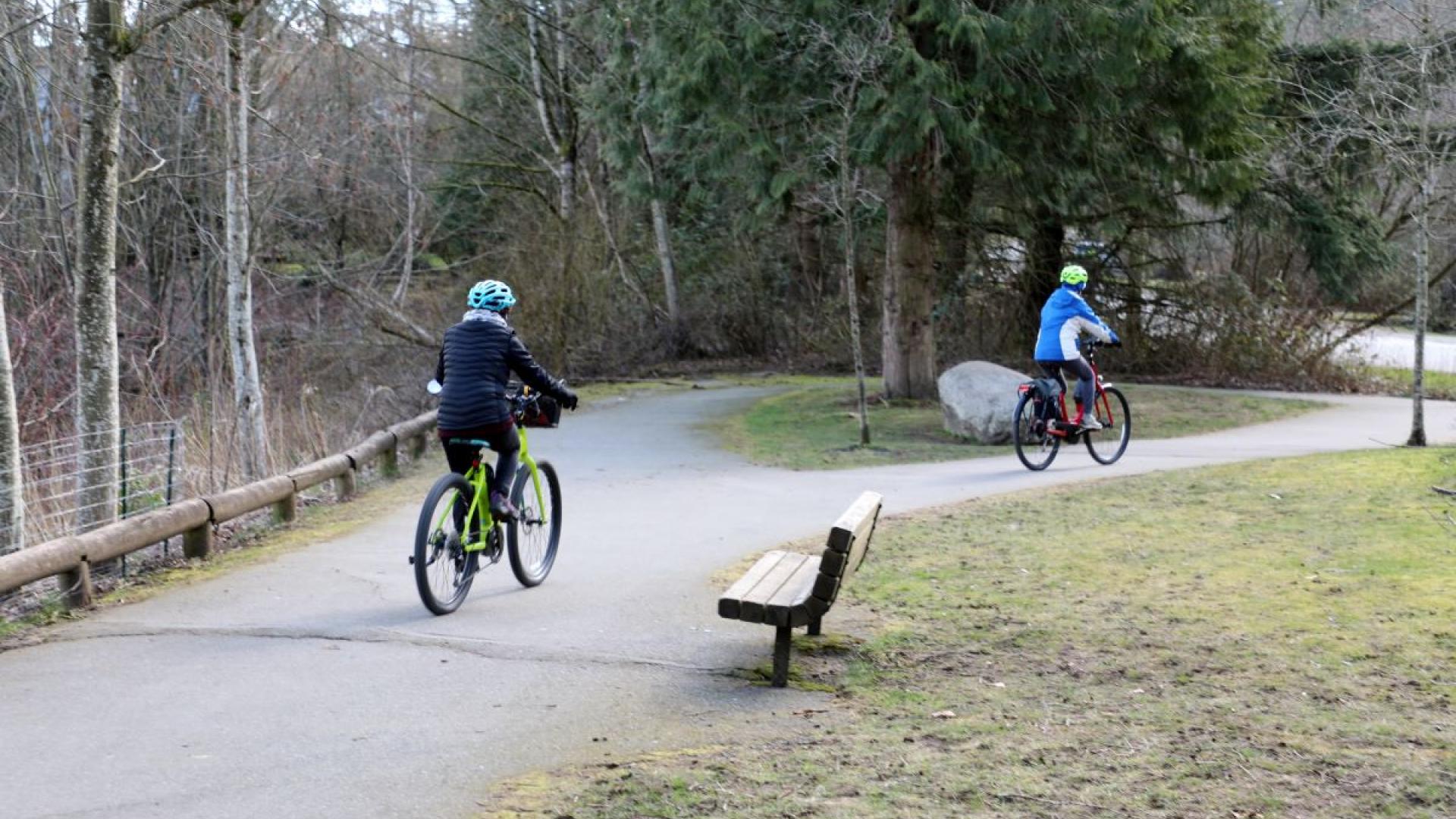
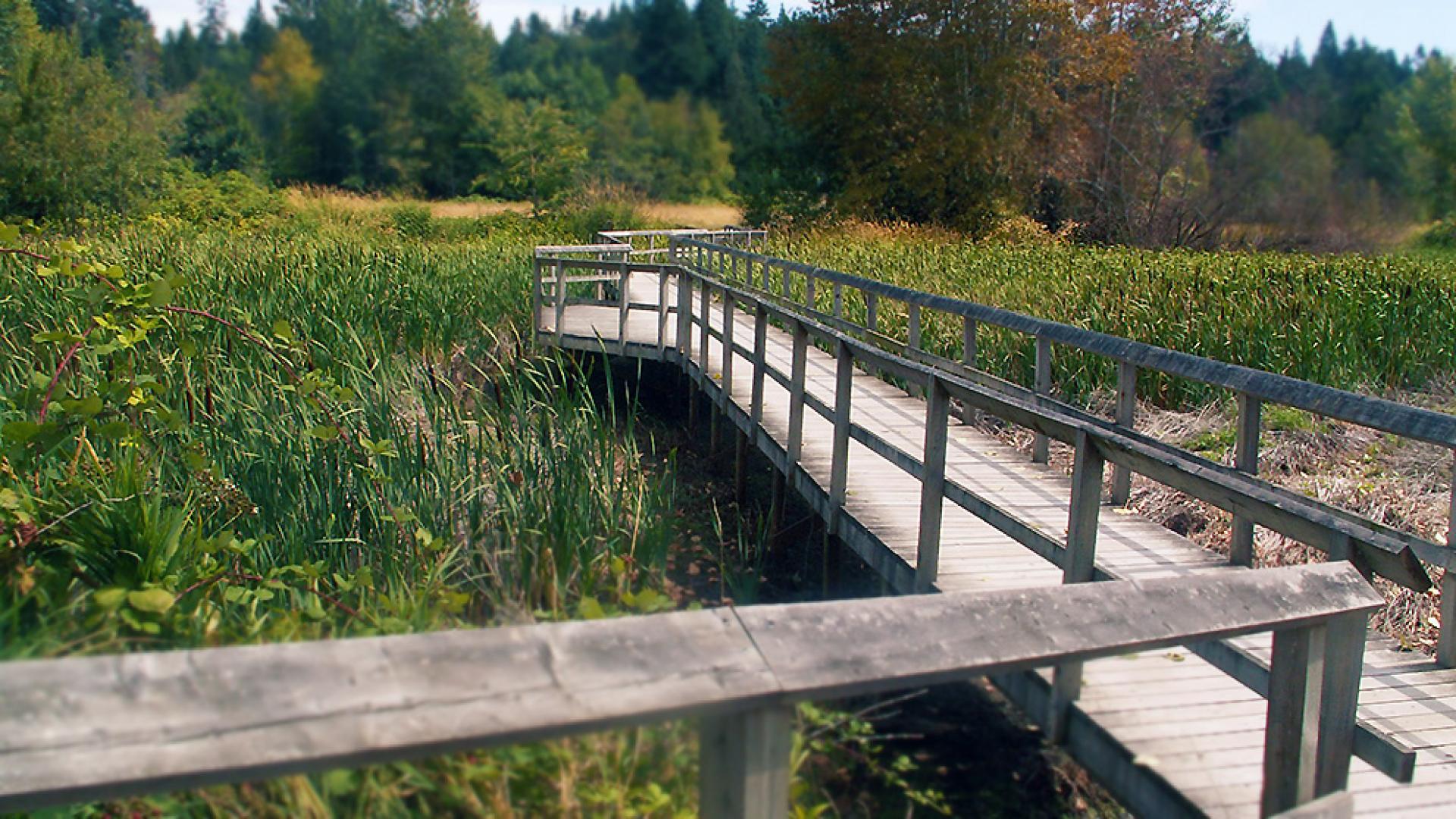
Semiahmoo Trail Park
-

Elgin Heritage Park
-
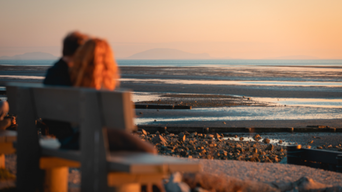
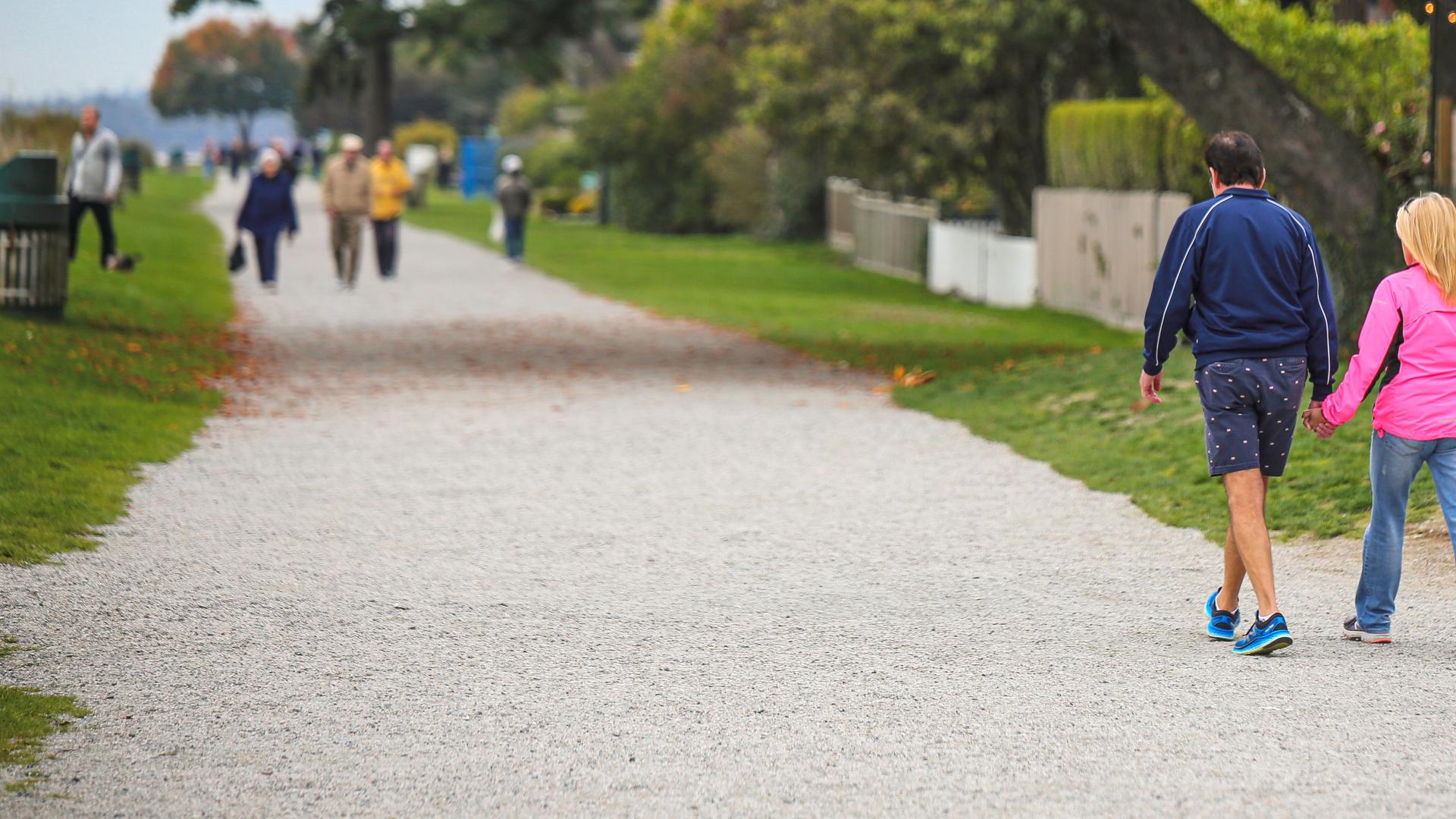
Crescent Beach
-
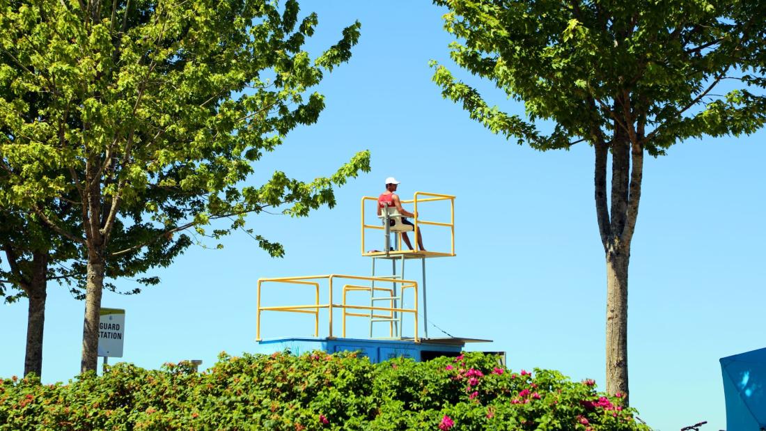
Lifeguarding at Crescent Beach
-

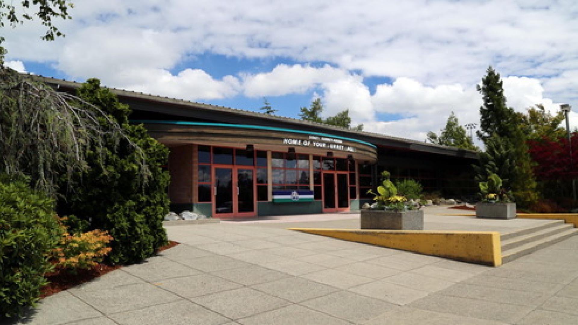
South Surrey Arena
-
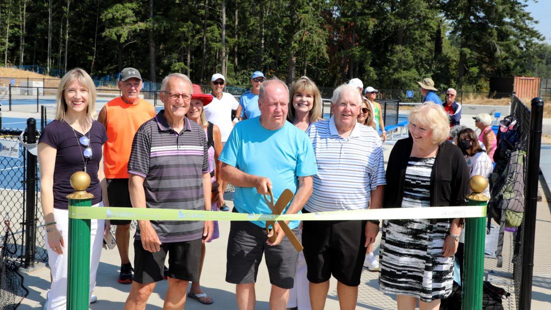
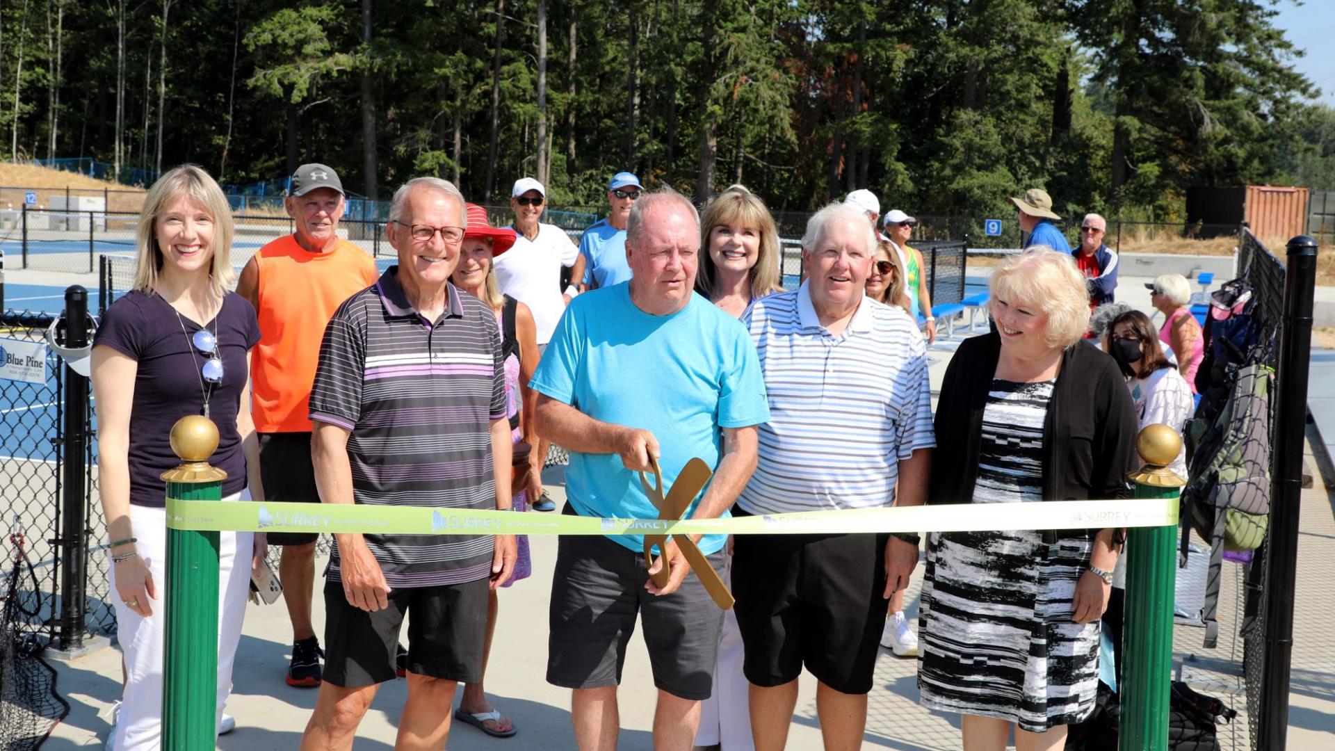
Pickleball Opening at South Surrey Athletic Centre
-
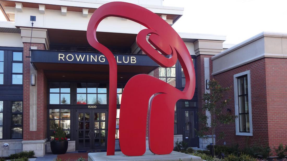
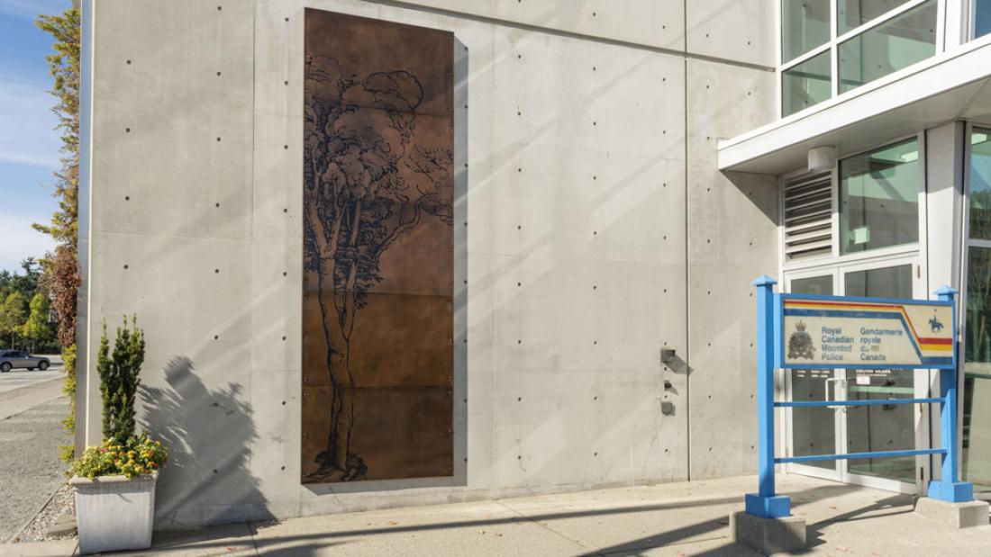
Public Art: Supernatural Eye
-
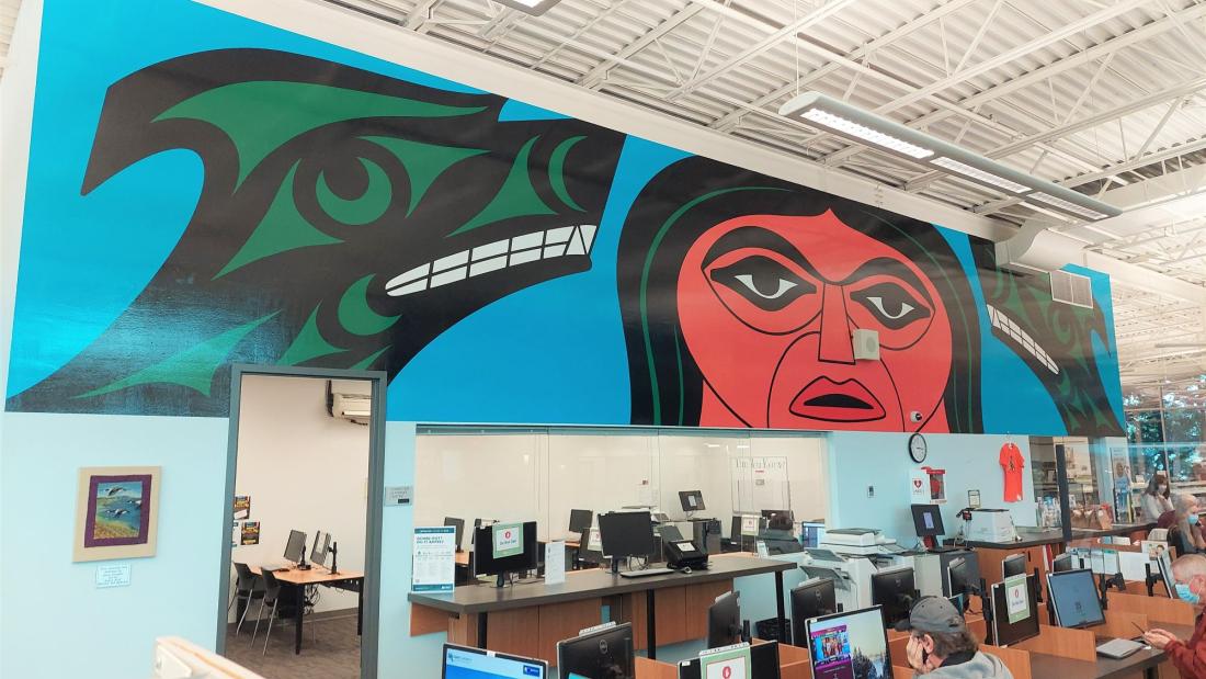
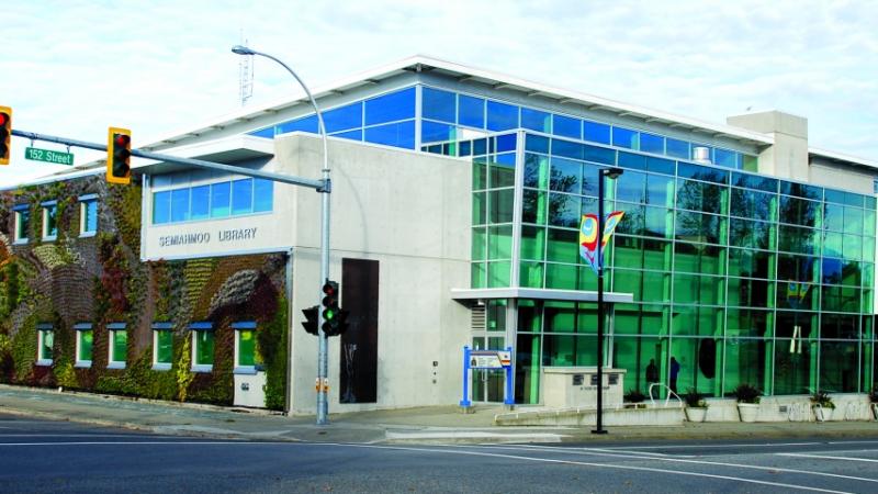
Public Art in Semiahmoo Library: Wolf Spirit
-

Crescent Beach
-
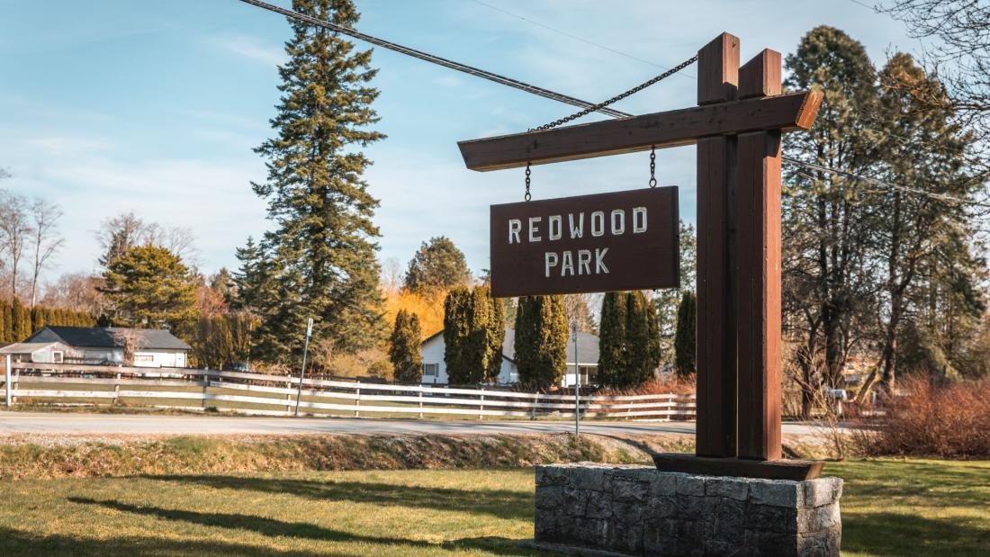
Redwood Park
-
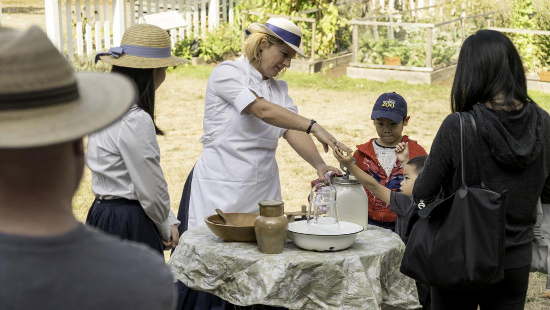
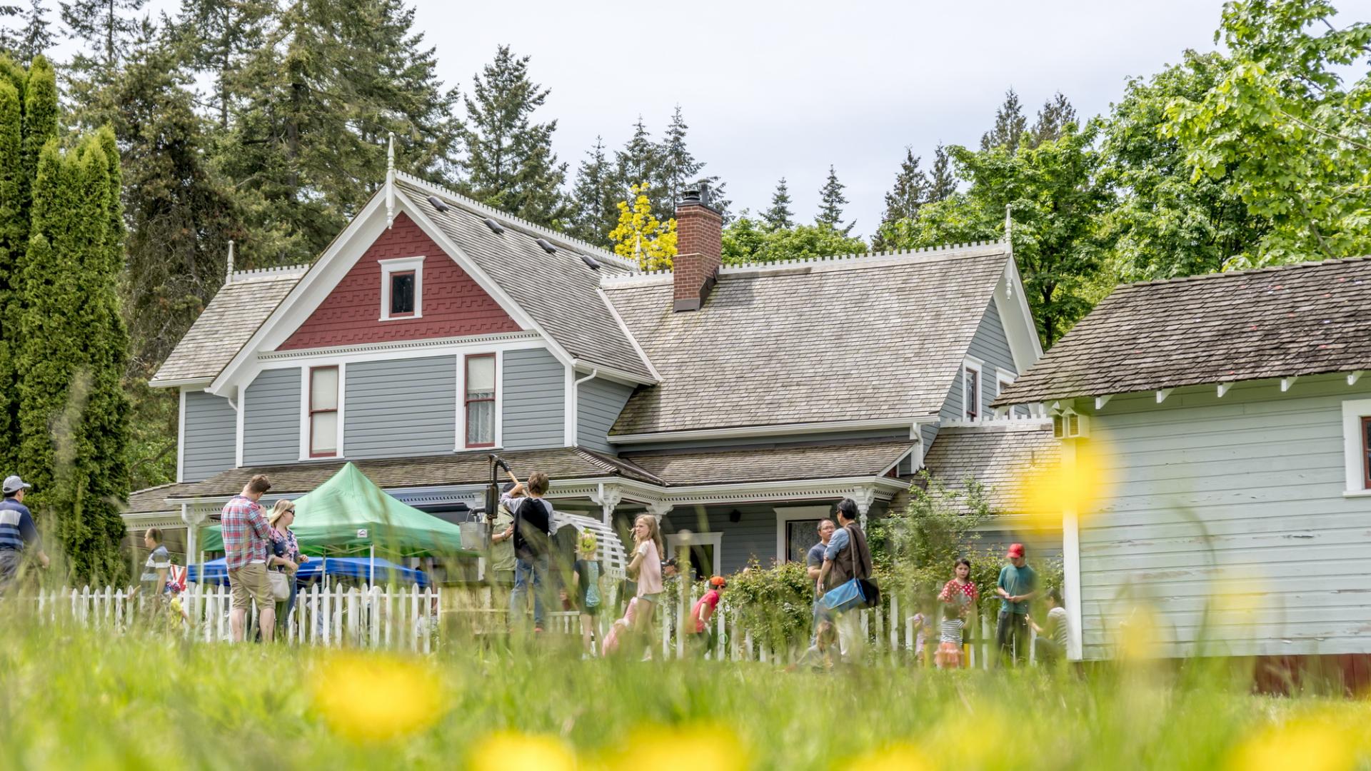
Historic Stewart Farm
-

Historic Stewart Farm
-

South Surrey Recreation
-
Public Art: Tree of Knowledge


South Surrey's history
South Surrey, especially the Semiahmoo Town Centre, has always been known and has always been home to the Semiahma people, who have strong linguistic and cultural ties south and west of the Semiahmoo peninsula, including traditional fishing sites and common land. There were numerous village sites in and near present-day Surrey, White Rock, Semiahmoo, Boundary, and Bellingham Bays.
Beginning in the late 18th Century, European newcomers began arriving on Pacific shores. In 1846, the current American-Canadian international boundary was set at the 49th parallel, bisecting the traditional territory of the Semiahma.
In 1873-74, the Semiahmoo Trail was constructed, providing an overland route from Semiahmoo Bay to the Fraser River (a portion of which is now a protected heritage resource). In 1909, the Great Northern Railway established its sea-line route and was integral in establishing present-day White Rock and Crescent Beach.
South Surrey communities were modestly developed over the next 50 years. Semiahmoo High School opened in 1940 at its original location at Fir Street and Buena Vista Avenue in White Rock.
Learn more about South Surrey history with a visit to Historic Stewart Farm, which dates back to 1894.
Take a closer look at South Surrey
Discover Surrey provides a closer look at South Surrey: